Shriram Serenity Location
The location of Shriram Serenity is on Rajanukunte, Yelahanka, along Doddaballapur Main Road, North Bangalore, Karnataka 560064, it is in close proximity to Bellary Road, in the North zone of Bangalore. The project is located at 2 kms from Doddaballapur Main Road, it connects to NH 44. NH 44 connects between Bangalore and Krishnagiri and stretches 82 kms.

Rajanakunte is located near Doddaballapur Main Road, close to Yelahanka in North Bangalore. The area is well-connected to NH 44 via SH 9, providing easy access to other major parts of the city. Kempegowda International Airport is just a 38-minute drive away.
Location is crucial when trying to increase the market value of development projects and real estate properties. One such place for a better investment is Rajanakunte, Yelahanka in North Bangalore, which is close to KIADB Aerospace Park.
Shriram Serenity Address

The exact address of Shriram Serenity is SY.NO 74/8,74/10,74/12,74/13 & 74/15, Adde Vishwanathapura Village, Hesaraghatta Hobli, Rajanukunte, Yelahanka Taluk, Bangalore, Karnataka - 560064. This is a well-developed area in North Bangalore with great connectivity and a strong road network. Nearby key locations include Jakkur, Nagavara, Hebbal, and Devanahalli.
Shriram Serenity's connectivity
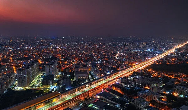
Shriram Serenity Rajanukunte is situated in a desirable region with well-kept roads and quick access to important job centers and other parts of the city. The area is well-served by various transportation alternatives, including the airport, metro, trains, and roads. Near the current SH-104, the recently proposed "Elevated Expressway" passes through the area.
Airport connectivity
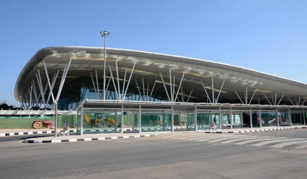
Bellary Road, NH 44, and the Airport Approach Road provide easy access to Kempegowda International Airport from the project's location. This ensures quick and easy connectivity in 20 minutes for the people of Yelahanka and Shriram Serenity.
- Kempegowda International Airport – 18 km
Metro Connectivity
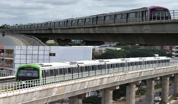
Once the Blue Line Metro is completed, Yelahanka residents will have easy access to Kempegowda International Airport and KR Puram via Metro. The nearby Yelahanka Metro Station provides easy access to the metro station.
Nearby Metro Stations:
- Yelahanka Metro Station
Railway Connectivity
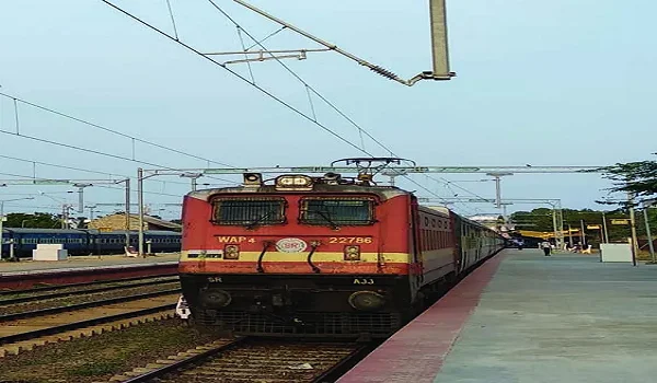
The project's proximity to Bangalore's main train terminals makes easy access feasible. One way to reduce environmental impact is to encourage people to take city railway and interstate trains at less frequent railroad stops to avoid traffic jams.
Nearby Railway Station:
- Yelahanka Railway Junction
Road Connectivity
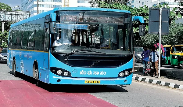
All urban areas and numerous state and national highways are easily accessible from Shriram Serenity. There is a bus stop right across from the project site. Taking the bus is less expensive than a taxi and better for the environment.
Express Way and arterial roads near Shriram Serenity:
- NH – 44
- Doddaballapura Main Road
- SH – 104
- Bellary Road
- Hyderabad Highway
- Airport Road Flyover
- Devanahalli Main Road
Places to visit near Shriram Serenity Yelahanka
Jakkur Aerodrome – 4 km
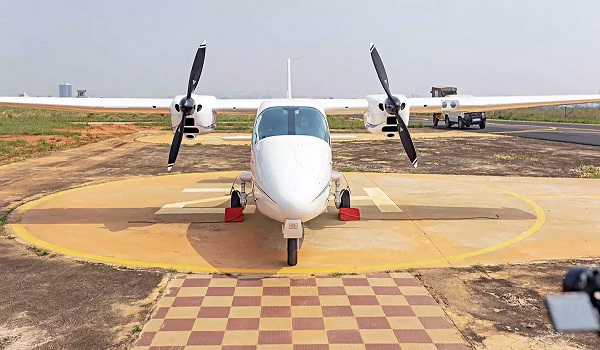
Jakkur Aerodrome is situated on 214 acres; it is home to the aviation department's training school. The airport has one runway, which is reserved for general aviation use. The school welcomes visitors on weekends and provides a unique chance to operate a real aircraft at 15,000 feet while supervised by experienced pilots.
Lumbini Gardens – 10 km
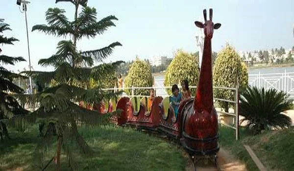
Lumbini Garden is a unique water play and entertainment park designed with family in mind. It is 1.5 km long and crosses Nagawara Lake in an environmentally sustainable manner. Many entertaining attractions, from the Wave Pool and Kids Train to the Bouncy, Twirling Vortex, Spanish Bull Riding, Battery Car, Children Play Area, and Caterpillar Ride, will keep you occupied.
Statue of Prosperity (Nadaprabhu Kempegowda Statue) - 14 km
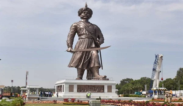
The Statue of Prosperity is the name given to the statue of Bangalore's founder, Nadaprabhu Kempegowda, who is honored with the statue. It is located in Devanahalli's Kempegowda International Airport. This magnificent statue is the tallest bronze statue in the world.
Nandi Hills – 44 km

Connected to the Eastern Ghats, Nandi Hills offers a wide-ranging view. It is also the location of the Nandi temple, the Nandi Fort, and the enormous Nandhi Bull statue, which is made out of a single rock. Trekking pathways provide breathtaking views and enable visitors to engage in activities like paragliding and hill trekking.
Rajanakunte
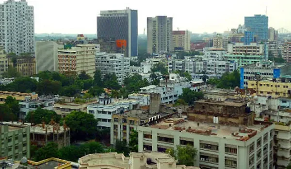
Rajanukunte is an established region with good connectivity and easy access to major parts of the city. Major industrial areas, IT hubs, and tech parks surround the locality. Rajanakunte to airport is 17.4 km and Doddaballapur Road, Bellary Road, and NH 44 are close by.
Families and working professionals find the neighborhood to be a great place to settle because of its tranquil ambiance and green spaces. The location has a lot of good schools, hospitals, and shopping centers. Rajanukunte offers a lot of outdoor amenities where you may unwind in the surrounding parks and spend time with loved ones.
With numerous new home developments and business hubs over the past ten years, Rajanukunte has the best infrastructure. Major linking roads, metro stations, and airports in the city's northern region draw people to this expanding neighborhood. Rajankaunte to majestic distance is 32 km via Bellary Road.
Yelahanka
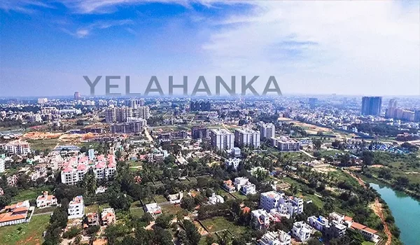
Yelahanka is a good place to live in North Bangalore. Puttenahalli Lake, Jakkur Lake, Nagawara Lake, Yelahanka Fort, and Yelahanka Kere are just a few lakes and green areas that dot the city. It is a significant suburban area that is home to well-known employment and educational hubs.
Bangalore's Yelahanka neighbourhood offers access to respectable job centres. The expanding and established communities and amenities are close to the IT micro market. Jakkur, Thanisandra Road, Bagalur, Doddaballapura Road, Bellary Road, Kogilu Cross, and more places are included. Bangalore International Airport (KIA) is only twenty minutes away. Because so many individuals are moving to Yelahanka in search of work, the area is seeing a boom in residential development.
Yelahanka and its connectivity

Airport Connectivity
Yelahanka is near airport, which is only 18 km from Kempegowda International Airport. By car, it takes around twenty minutes to get to the airport and take the airport lane, which avoids traffic, to the KIAL terminal. Yelahanka is easier because the BMTC and Volvo A/C buses depart from the airport and run throughout the day.
Metro Connectivity
The metro connectivity in Yelahanka is fulfilled by the completion of the Blue Line metro. It will link Kempegowda International Airport and the Central Silk Board. The project consists of two phases, 2A and 2B. Phase 2A comprises thirteen elevated metro stations that link KR Puram and the Central Silk Board. However, Phase 2B features 17 elevated metro stations and links Kempegowda International Airport to KR Puram.
Major Metro Stations in Blue Line are:
- Marathahalli
- KR Puram (Connects Pink Line Metro)
- Yelahanka (Located near to the project)
- Bagalur Cross Metro Station
- KIAL Terminal Metro Station
Road connectivity
Yelahanka is well-connected through major roads and highways. The state highway SH 104 in Karnataka, which travels through Hebbal, Nagavara, Bagalur Cross, and Devanahalli, connects Bangalore and Nandhi Hills. The site is connected to Bellary Road and Srinagar - Kanyakumari via the National Highway (NH-44). The outer ring road, Bangalore's main thoroughfare, can be reached in five minutes.
Good schools in Yelahanka near Shriram Serenity:
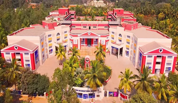
- Euro School
- National Public School
- Ryan International School
- Chrysalis High
- Cambridge Public School
- Orchids International School
- REVA University
- Bhuvan Group of Institutes
- Presidency PU College
- East West Pre-University
IT Parks in Yelahanka near Shriram Serenity
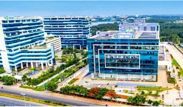
- KIADB Aerospace Park
- Shell India Markets Private Limited
- IFCI Financial City
- Ecopolis, IT / ITES SEZ
- Kirloskar Business Park
- Kirloskar Business Park
- Baghmane Tech Park
- L&T Business Park
- Embassy Manyata Business Park
Shopping malls in Yelahanka Road near Shriram Serenity:

- Decathlon
- The Galleria Mall
- Phoenix Mall
- Esteem mall
Best hospitals in Yelahanka near Shriram Serenity:
- Aster CMI Hospital
- Cytecare Cancer Hospital
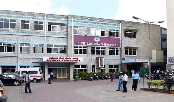
- St. Philomena Hospital
- Columbia Asia Hospital
- Cloud Nine Hospital, HRBR
- Cratis Hospital
- MS Ramiah Hospital
Frequently Asked Questions
1. Where is Shriram Serenity located?
Shriram Serenity is located in Yelahanka, in the city's northern section, off Airport Road (Bellary Road). Its location is one of the main factors that makes this project the greatest in the city.
2. Is there easy access to major IT or tech parks from the project location?
Major IT and Tech Parks, including IFCI Financial City, Ecopolis, Shell India Markets Private Limited, KIADB Aerospace Park, and IT/ITES SEZs, are easily accessible from the project site.
3. Are Shriram Serenity Rajanakunte close to essential services?
Shriram Serenity Rajanakunte enhances the quality of life. Its proximity to schools, hospitals, colleges, IT parks, and commercial centres gives residents more time for leisure and personal interests.
4. Is there a metro stop near Shriram Serenity?
The project is near the Yelahanka metro station on the Blue Line. Locals can travel less time by using the metro to go where they're going more easily.
5. How far is it from Shriram Serenity to the airport?
Shriram Serenity and the airport are only 19 kilometres apart, which makes them quite close.
Disclaimer: Any content mentioned in this website is for information purpose only and Prices are subject to change without notice. This website is just for the purpose of information only and not to be considered as an official website.
| Call |
|
|